A boundary survey is an essential step in determining the precise location of property lines and corners. Whether you’re buying a new property, planning construction, or resolving a boundary dispute, understanding the importance and process of a boundary survey can save you time, money, and potential legal issues. Here, we delve into the basics of boundary surveys and the role of property corners.
What is a Boundary Survey?
A boundary survey involves a professional land surveyor measuring and mapping the boundaries of a parcel of land. The goal is to define the exact perimeter of the property based on legal descriptions from deeds, previous surveys, and historical records. This survey ensures that property lines are accurately established, preventing disputes and encroachments.
The Role of Property Corners
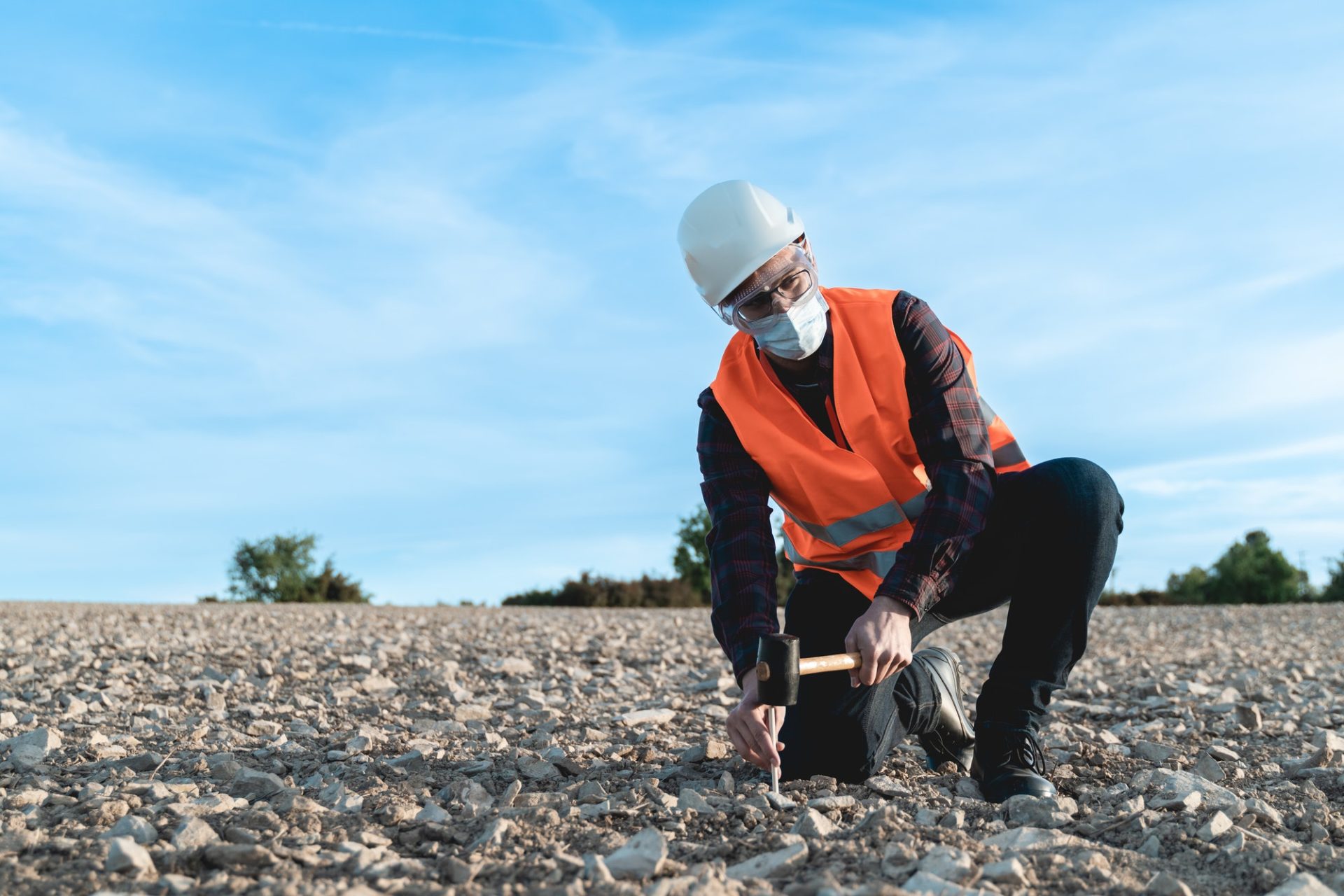
Property corners are critical markers that define the limits of a property. These corners are usually marked with permanent markers such as metal rods, concrete monuments, or wooden stakes. Identifying and marking these corners is a crucial part of the boundary survey, as they serve as reference points for the property’s boundaries.
Why You Need a Boundary Survey
- Property Purchase: Before purchasing a property, it’s vital to know exactly what you’re buying. A boundary survey provides a clear outline of the land, ensuring there are no surprises regarding property size and boundaries.
- Construction Projects: When planning to build or make significant improvements to your property, a boundary survey ensures that all construction stays within legal property lines, avoiding potential disputes with neighbors.
- Resolving Disputes: If there are disagreements with neighbors about property lines, a boundary survey can provide a definitive resolution, based on accurate measurements and legal documentation.
- Subdivision of Land: If you plan to subdivide your property, a boundary survey is necessary to establish new property lines and corners for the subdivided parcels.
The Boundary Survey Process
- Initial Research: The surveyor begins by researching public records, previous surveys, and legal descriptions related to the property.
- Fieldwork: Using specialized equipment, the surveyor visits the property to measure and map the land. This includes identifying and marking property corners with permanent markers.
- Analysis and Mapping: The surveyor analyzes the field data, compares it with historical records, and creates a detailed map showing the property boundaries and corners.
- Reporting: The final survey report includes a detailed map, a description of the methods used, and any discrepancies found during the survey.
Conclusion
A basic boundary survey with property corners is a vital process for anyone dealing with land ownership, construction, or property disputes. By providing accurate, reliable measurements of property lines and corners, a boundary survey ensures peace of mind and legal clarity. Whether you’re a homeowner, developer, or prospective buyer, investing in a professional boundary survey is a wise decision that can prevent future complications and protect your investment.

Leave a Reply