Survey Services
Demarcation
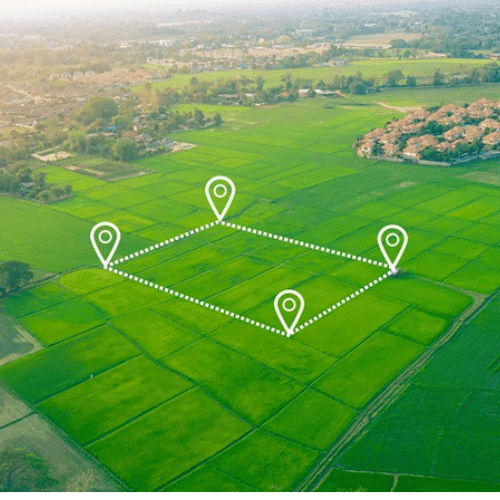
Demarcation is a fundamental process for defining and marking boundaries of land or properties to prevent disputes, ensure proper land use, and facilitate accurate documentation. It involves planning, surveying, marking, and documenting boundaries using a combination of physical markers, surveying instruments, and mapping techniques. Accurate demarcation is crucial for legal clarity, property management, and successful project execution.
- Process
- Planning
- Surveying
- Marking
- Mapping and Documentation
- Verification
- Tools and Techniques
- Surveying instruments used are total stations, digital levels, GNSS and Laser scanners to measure and record boundary coordinates accurately.
- Mapping Software used are CAD(Computer Aided Design or GIS (Geographic Information Systems)
- Physical Markers


